October 08, 2026



Getting lost on a UK hill rarely starts with a dramatic wrong turn. It starts with a phone at 12 per cent battery, a stile that looked obvious on the map, and cloud that arrived faster than the forecast suggested. The consequences are usually mild: a longer day, a scraped shin, a worried friend back at the car park. Occasionally they are not. These are the mistakes that catch walkers out most often, and the small habits that keep a route on track.
A phone is a superb navigation tool right up until it isn't. Cold drains the battery faster than you expect, a wet screen ignores your thumb, and map tiles you never downloaded disappear the moment signal goes. Losing signal does not stop GPS working, but it will stop a streaming map from loading, which is why downloaded offline maps matter far more than the number of bars on screen.
None of this means leaving the phone at home. It means treating it as a back-up rather than the plan. Carry a paper map of the area you are walking, ideally in a map case, plus a compass you can actually use. Before leaving the house, download the offline map for the whole route with a generous margin around it, switch the phone to flight mode to save power, and keep a small power bank near the top of your rucksack rather than buried under a waterproof.
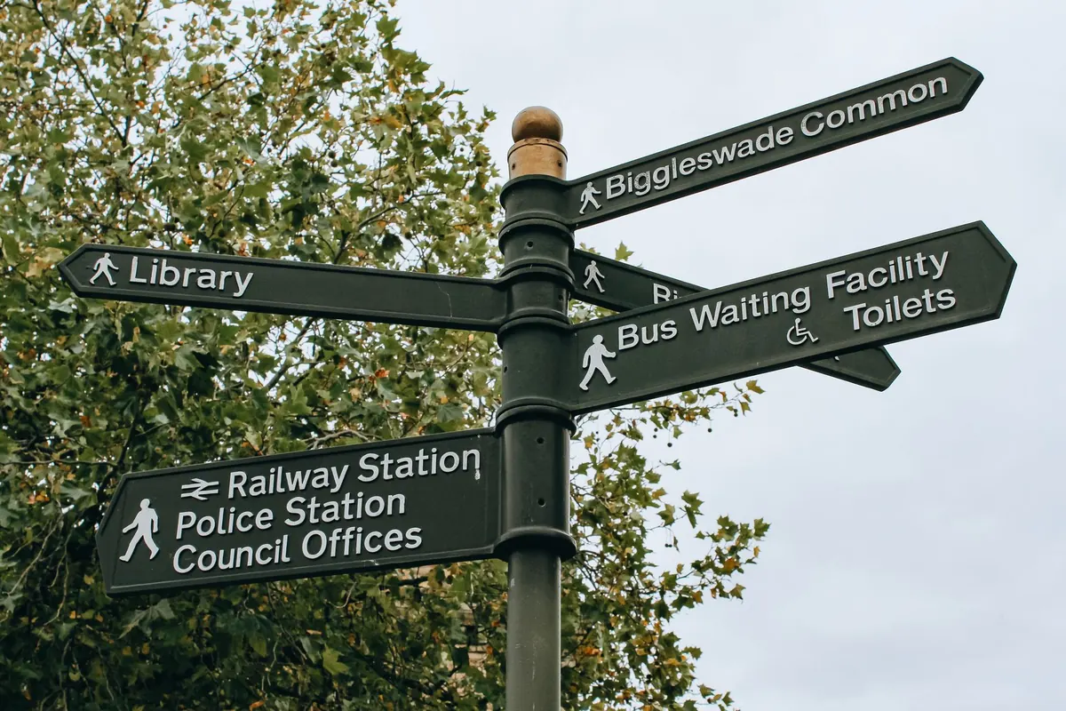
Paths printed on a map are legal lines, not promises of a pleasant surface. In England and Wales, waymarks are usually yellow arrows for footpaths and blue for bridleways, and they can be faded, missing or pointing at a gate that no longer exists. In Scotland you will often find few waymarks at all, and judgement matters more than paint.
Faint trods are the bigger trap. Sheep paths, desire lines and other people's shortcuts braid together on open moorland, and the most worn line is not always the right one. Read the ground in short segments instead of half a kilometre at a time:
If ten minutes pass and the gate has not appeared, stop and walk back to the last point you were certain about. Retracing 200 metres is far quicker than an hour of hopeful wandering.
Check a mountain forecast the night before and again over breakfast, paying attention to cloud base, wind speed and when rain is due. Conditions on a 900-metre summit can bear no resemblance to those in the valley car park, and visibility dropping to a few dozen metres turns a familiar path into a puzzle. Wind is the underrated one: it slows you down, chills you quickly once you stop, and makes map reading a two-handed job.
Pack waterproof jacket and trousers whatever the forecast says, add a spare warm layer and a headtorch, and set a turnaround time before you set off rather than deciding in the moment. A straightforward decision at 2pm is much easier than a difficult one at 5pm. If the cloud is down and you are squinting at a screen to find a summit cairn, save it for another day.
Most late finishes begin with an optimistic estimate over breakfast. Allow roughly four kilometres an hour on easy ground, then add time for every climb, every boggy stretch and every stop. The old rule of thumb of a minute for every ten metres of ascent is a reasonable starting point, but deep heather, a heavy pack and a rough descent all slow you down further.
Write a short route card and leave a copy with someone at home. It only needs the start point and grid reference, the intended route with a couple of key junctions, any escape routes you have identified, and your expected finish time. If you are overdue and out of contact, whoever holds that card can raise the alarm with something useful to say rather than a vague idea of where you might be.
In a group of six, it is easy for everyone to assume that someone else is checking. The person at the front is chatting, the person at the back is following, and nobody has looked at the map for twenty minutes. Agree before you start who is carrying the map, where the next regroup point is, and that anyone with a nagging doubt should say so straight away. Doubt raised early is a conversation; doubt raised late is a problem.
Count heads at every gate and stile, and if you are the one holding the map, hand it to someone else for a section. Fresh eyes catch wrong turns that tired ones miss.
Maps are usually right about the shape of the land and often out of date about the details. Fences become walls, footbridges wash away, plantations are felled and replanted, and paths are diverted. A line marked as a path might turn out to be a faint trod through waist-high bracken, or a farm track that has been fenced off since the last survey.
Contours deserve the same scepticism. A kilometre across a steep hillside takes far longer than a kilometre along a canal towpath, and tightly packed contour lines mean work, not a gentle stroll. When a leg of your route crosses a lot of them, add time or pick a kinder line. Being honest about how the ground will actually feel underfoot is the quiet skill that separates a comfortable day from a grim one.
None of this requires expensive kit or years of experience. It requires a short routine, repeated until it becomes automatic:
Do that and the day tends to look after itself. The walkers who get back to the car park relaxed are rarely the ones with the best gear; they are the ones who look at the map before they need it, and turn around while turning around is still easy.
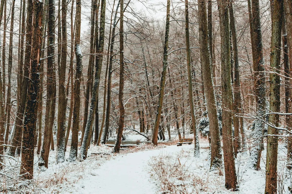
Photo: poupoune05 / Pixabay

Exploring woodland trails, walks, and outdoor adventures..
Copyright © 2026 Larch Loop. All rights reserved. Larch Loop.